Download the around.us app
For a better experience, use our mobile application.
Popularity :

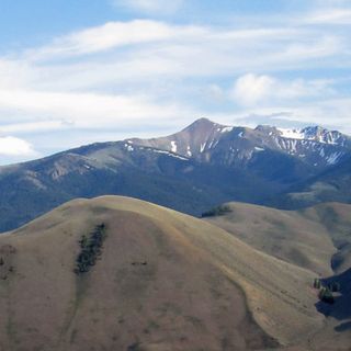
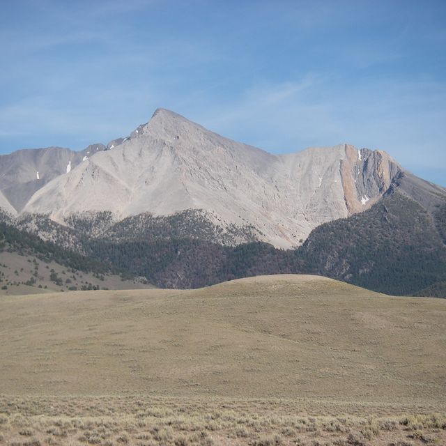
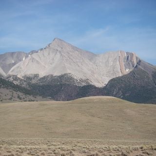
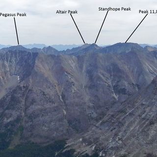
Borah Peak, Highest mountain in Idaho

Borah Peak, also known as Mount Borah, soars to an elevation of 12,668 feet.

The name Borah Peak comes from William Borah, a prominent U.S. Senator in the early 20th century.

Known by the locals as 'The Roof of Idaho' for its lofty elevation.

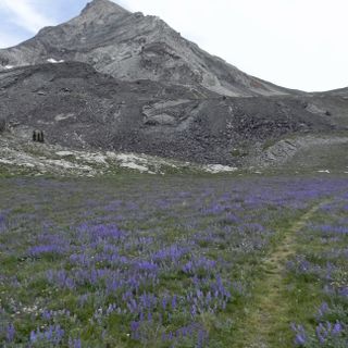
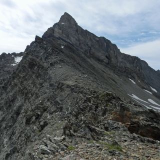
Climbing Borah Peak is quite challenging, with the most popular route being the 'Chicken Out Ridge'.

In 1983, an earthquake raised Borah Peak about one foot and reduced the height of nearby peaks.

Sources: Wikimedia, OpenStreetMap

Filters

Borah Peak Highest mountain in Idaho

Borah Peak, also known as Mount Borah, soars to an elevation of 12,668 feet.

USA 0 m
Borah Peak
Borah Peak Highest mountain in Idaho
USA 0 m
Donaldson Peak

USA 10.4 km
Donaldson Peak
USA 10.4 km
Mount Breitenbach Mountain in United States of America

USA 11.8 km
Mount Breitenbach
Mount Breitenbach Mountain in United States of America
USA 11.8 km
USGS Peak Mountain in United States of America

USA 21.1 km
USGS Peak
USGS Peak Mountain in United States of America
USA 21.1 km
Horseshoe Canyon Canyon in Custer County, Idaho, United States

USA 28.2 km
Horseshoe Canyon
Horseshoe Canyon Canyon in Custer County, Idaho, United States
USA 28.2 km
Mackay Methodist Episcopal Church Historic church in Idaho, United States

USA 28.5 km
Mackay Methodist Episcopal Church
Mackay Methodist Episcopal Church Historic church in Idaho, United States
USA 28.5 km
Standhope Peak Mountain in United States of America

USA 43.9 km
Standhope Peak
Standhope Peak Mountain in United States of America
USA 43.9 km
Jim McClure–Jerry Peak Wilderness Wilderness area in Idaho

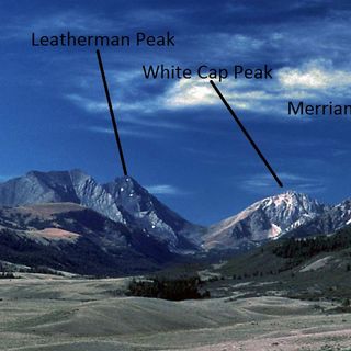
The Jim McClure–Jerry Peak Wilderness spans over 116,898 acres of pristine landscape.

USA 44.9 km
Jim McClure–Jerry Peak Wilderness
Jim McClure–Jerry Peak Wilderness Wilderness area in Idaho
USA 44.9 km
Hyndman Peak

USA 51.5 km
Hyndman Peak
USA 51.5 km
Old Hyndman Peak

USA 51.7 km
Old Hyndman Peak
USA 51.7 km
« Borah Peak - Highest mountain in Idaho » is provided by Around.Us (en.aroundus.com). Images and texts are derived from Wikimedia project under a Creative Commons license. You are allowed to copy, distribute, and modify copies of this page, under the conditions set by the license, as long as this note is clearly visible.